A14 looking east towards Bury St. Edmunds
Introduction
The photograph on this page of A14 looking east towards Bury St. Edmunds by John Goldsmith as part of the Geograph project.
The Geograph project started in 2005 with the aim of publishing, organising and preserving representative images for every square kilometre of Great Britain, Ireland and the Isle of Man.

There are currently over 7.5m images from over 14,400 individuals and you can help contribute to the project by visiting https://www.geograph.org.uk
A14 looking east towards Bury St. Edmunds
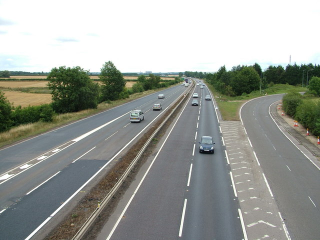
Image: © John Goldsmith Taken: 7 Aug 2010
On the right the slip road from the Saxham industrial area, on the left the slip road from Risby village. On the horizon the silos of the sugar factory. Above the trees on the right we see a tall stack from the Calor Gas premises, presumably to flare off or disperse unwanted gas.
Images are licensed for reuse under creativecommons.org/licenses/by-sa/2.0
Image Location
Latitude
52.260026
Longitude
0.635284