Farm, North End, Goxhill
Introduction
The photograph on this page of Farm, North End, Goxhill by Jonathan Thacker as part of the Geograph project.
The Geograph project started in 2005 with the aim of publishing, organising and preserving representative images for every square kilometre of Great Britain, Ireland and the Isle of Man.

There are currently over 7.5m images from over 14,400 individuals and you can help contribute to the project by visiting https://www.geograph.org.uk
Farm, North End, Goxhill
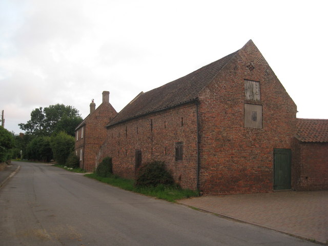
Image: © Jonathan Thacker Taken: 7 Aug 2010
Goxhill has managed to retain several examples of eighteenth and nineteenth century barns which have not been converted to other uses.
Images are licensed for reuse under creativecommons.org/licenses/by-sa/2.0
Image Location
Latitude
53.68726
Longitude
-0.327164