Path between open areas, Banstead Heath
Introduction
The photograph on this page of Path between open areas, Banstead Heath by Robin Webster as part of the Geograph project.
The Geograph project started in 2005 with the aim of publishing, organising and preserving representative images for every square kilometre of Great Britain, Ireland and the Isle of Man.

There are currently over 7.5m images from over 14,400 individuals and you can help contribute to the project by visiting https://www.geograph.org.uk
Path between open areas, Banstead Heath
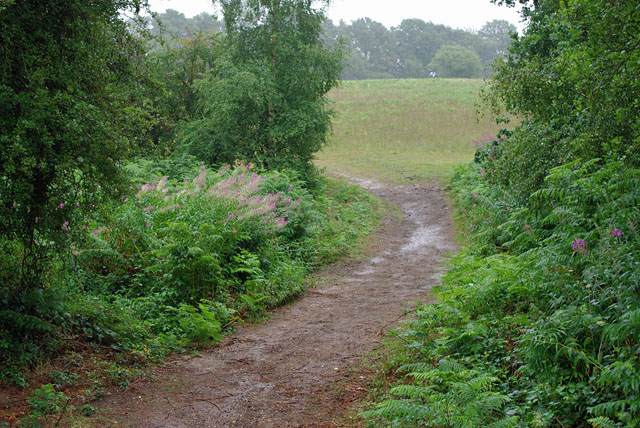
Image: © Robin Webster Taken: 7 Aug 2010
This path crosses a wooded strip along a dip between cleared areas of heath. The cleared areas look interesting examples of somewhat acidic grassland, but no time to investigate, the rain was getting unpleasant.
Images are licensed for reuse under creativecommons.org/licenses/by-sa/2.0
Image Location
Latitude
51.274557
Longitude
-0.224576