Kirkinner Bowling Club, Kirkinner
Introduction
The photograph on this page of Kirkinner Bowling Club, Kirkinner by Andy Farrington as part of the Geograph project.
The Geograph project started in 2005 with the aim of publishing, organising and preserving representative images for every square kilometre of Great Britain, Ireland and the Isle of Man.

There are currently over 7.5m images from over 14,400 individuals and you can help contribute to the project by visiting https://www.geograph.org.uk
Kirkinner Bowling Club, Kirkinner
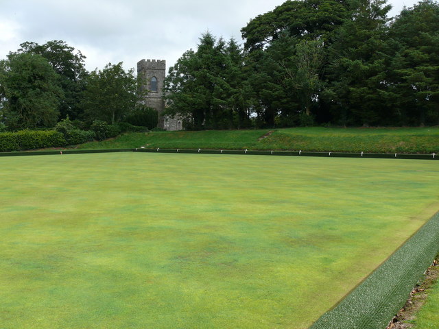
Image: © Andy Farrington Taken: 7 Aug 2010
View of this immaculate green and Kirkinner Parish Church in the background taken from the footpath at the side of the A746. The church yard can be found at the top of the bank behind the trees.
Images are licensed for reuse under creativecommons.org/licenses/by-sa/2.0
Image Location
Latitude
54.832989
Longitude
-4.45617