A68 in Rowley
Introduction
The photograph on this page of A68 in Rowley by Christine Johnstone as part of the Geograph project.
The Geograph project started in 2005 with the aim of publishing, organising and preserving representative images for every square kilometre of Great Britain, Ireland and the Isle of Man.

There are currently over 7.5m images from over 14,400 individuals and you can help contribute to the project by visiting https://www.geograph.org.uk
A68 in Rowley
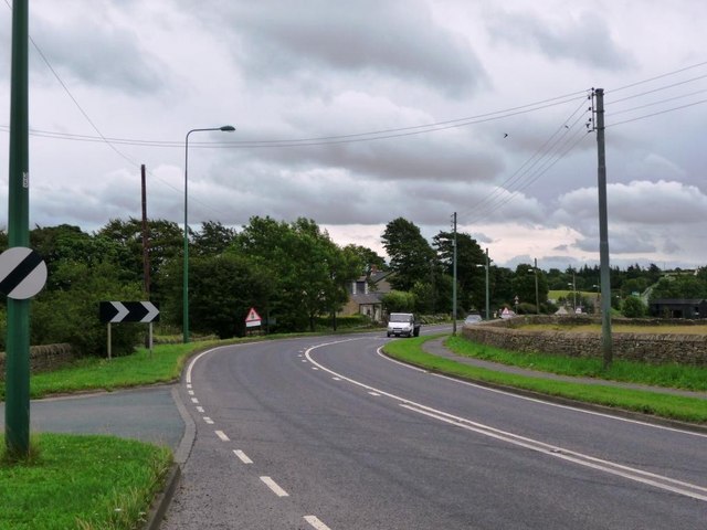
Image: © Christine Johnstone Taken: 27 Jul 2010
No longer following a Roman road, the A68 bends and turns through County Durham.
Images are licensed for reuse under creativecommons.org/licenses/by-sa/2.0
Image Location
Latitude
54.828203
Longitude
-1.866881