Main bunker at the former RAF Nevin
Introduction
The photograph on this page of Main bunker at the former RAF Nevin by Eric Jones as part of the Geograph project.
The Geograph project started in 2005 with the aim of publishing, organising and preserving representative images for every square kilometre of Great Britain, Ireland and the Isle of Man.

There are currently over 7.5m images from over 14,400 individuals and you can help contribute to the project by visiting https://www.geograph.org.uk
Main bunker at the former RAF Nevin
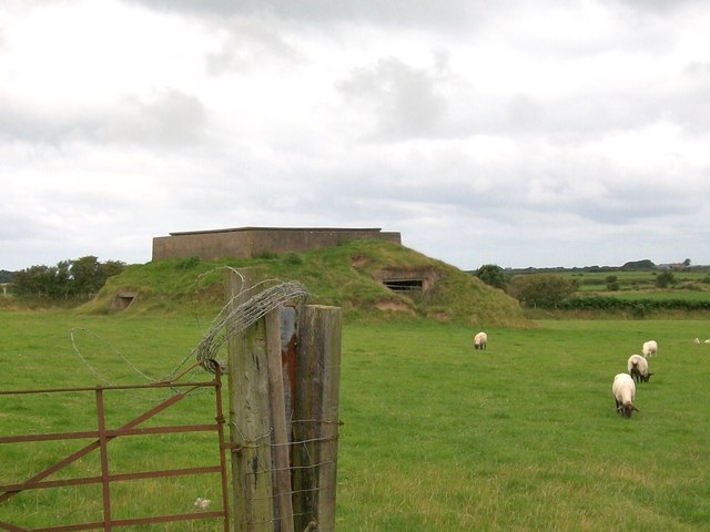
Image: © Eric Jones Taken: 5 Aug 2010
This was built to withstand a direct hit from the Luftwaffe.
Images are licensed for reuse under creativecommons.org/licenses/by-sa/2.0
Image Location
Latitude
52.907745
Longitude
-4.573076