Christchurch, boundary stone
Introduction
The photograph on this page of Christchurch, boundary stone by Mike Faherty as part of the Geograph project.
The Geograph project started in 2005 with the aim of publishing, organising and preserving representative images for every square kilometre of Great Britain, Ireland and the Isle of Man.

There are currently over 7.5m images from over 14,400 individuals and you can help contribute to the project by visiting https://www.geograph.org.uk
Christchurch, boundary stone
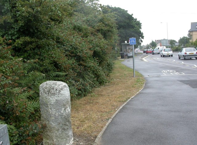
Image: © Mike Faherty Taken: 6 Aug 2010
On Fairmile Road, marking the original boundary of the borough; possibly dating from C17.
Images are licensed for reuse under creativecommons.org/licenses/by-sa/2.0
Image Location
Latitude
50.744693
Longitude
-1.787493