A338 at Cholderton
Introduction
The photograph on this page of A338 at Cholderton by Derek Harper as part of the Geograph project.
The Geograph project started in 2005 with the aim of publishing, organising and preserving representative images for every square kilometre of Great Britain, Ireland and the Isle of Man.

There are currently over 7.5m images from over 14,400 individuals and you can help contribute to the project by visiting https://www.geograph.org.uk
A338 at Cholderton
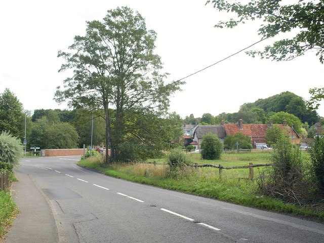
Image: © Derek Harper Taken: 2 Aug 2010
The main road approaches the mini-roundabout beside Image Across the River Bourne on the right are cottages on Grateley Road.
Images are licensed for reuse under creativecommons.org/licenses/by-sa/2.0
Image Location
Latitude
51.178595
Longitude
-1.679501