Coastal Path
Introduction
The photograph on this page of Coastal Path by Anne Burgess as part of the Geograph project.
The Geograph project started in 2005 with the aim of publishing, organising and preserving representative images for every square kilometre of Great Britain, Ireland and the Isle of Man.

There are currently over 7.5m images from over 14,400 individuals and you can help contribute to the project by visiting https://www.geograph.org.uk
Coastal Path
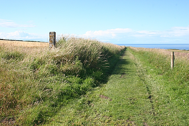
Image: © Anne Burgess Taken: 5 Aug 2010
The path follows farm roads to here, and this section is obviously being well maintained, the grass being regularly mown.
Images are licensed for reuse under creativecommons.org/licenses/by-sa/2.0
Image Location
Latitude
57.686797
Longitude
-2.709917