Near Greenrigs
Introduction
The photograph on this page of Near Greenrigs by Anne Burgess as part of the Geograph project.
The Geograph project started in 2005 with the aim of publishing, organising and preserving representative images for every square kilometre of Great Britain, Ireland and the Isle of Man.

There are currently over 7.5m images from over 14,400 individuals and you can help contribute to the project by visiting https://www.geograph.org.uk
Near Greenrigs
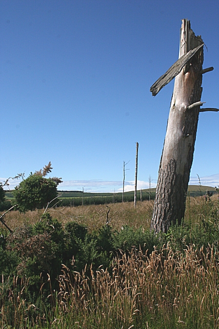
Image: © Anne Burgess Taken: 5 Aug 2010
Though shown on all the maps as conifer forest, this area was evidently felled some time ago.
Images are licensed for reuse under creativecommons.org/licenses/by-sa/2.0
Image Location
Latitude
57.642578
Longitude
-2.698165