B17 crash pit in Home Covert
Introduction
The photograph on this page of B17 crash pit in Home Covert by John Goldsmith as part of the Geograph project.
The Geograph project started in 2005 with the aim of publishing, organising and preserving representative images for every square kilometre of Great Britain, Ireland and the Isle of Man.

There are currently over 7.5m images from over 14,400 individuals and you can help contribute to the project by visiting https://www.geograph.org.uk
B17 crash pit in Home Covert
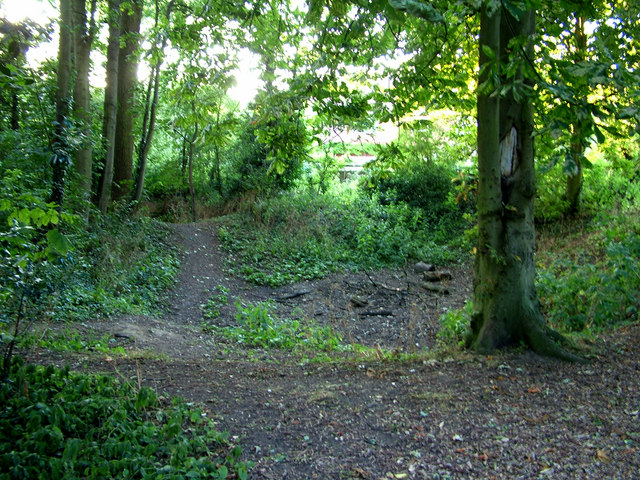
Image: © John Goldsmith Taken: 21 Jul 2010
In the days when Moreton Hall was a mansion, Home Covert was the nearest wood with shooting birds. The Hall has become a school, and given its name to a large housing estate in its former grounds. But in the meantime - on January 6th 1945 to be precise - a B17 Flying Fortress, fully laden with fuel and bombs at take off from the adjacent Rougham Airfield, plunged into the wood. Two pits show the site of this accident. The second pit appears in Image
Images are licensed for reuse under creativecommons.org/licenses/by-sa/2.0
Image Location
Latitude
52.244996
Longitude
0.742365