Reidstack
Introduction
The photograph on this page of Reidstack by Anne Burgess as part of the Geograph project.
The Geograph project started in 2005 with the aim of publishing, organising and preserving representative images for every square kilometre of Great Britain, Ireland and the Isle of Man.

There are currently over 7.5m images from over 14,400 individuals and you can help contribute to the project by visiting https://www.geograph.org.uk
Reidstack
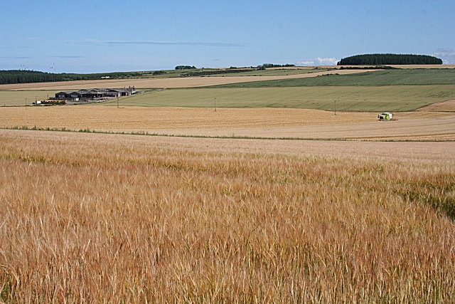
Image: © Anne Burgess Taken: 5 Aug 2010
Looking almost across the full width of the grid square from near South Hillside to the extensive buildings at Reidstack, at extreme left. On the right, a combine harvester is working on the barley field. The plantation on the skyline at right is on Hill of Chattie in Image
Images are licensed for reuse under creativecommons.org/licenses/by-sa/2.0
Image Location
Latitude
57.651873
Longitude
-2.706721