Loxley Chase
Introduction
The photograph on this page of Loxley Chase by Jonathan Clitheroe as part of the Geograph project.
The Geograph project started in 2005 with the aim of publishing, organising and preserving representative images for every square kilometre of Great Britain, Ireland and the Isle of Man.

There are currently over 7.5m images from over 14,400 individuals and you can help contribute to the project by visiting https://www.geograph.org.uk
Loxley Chase
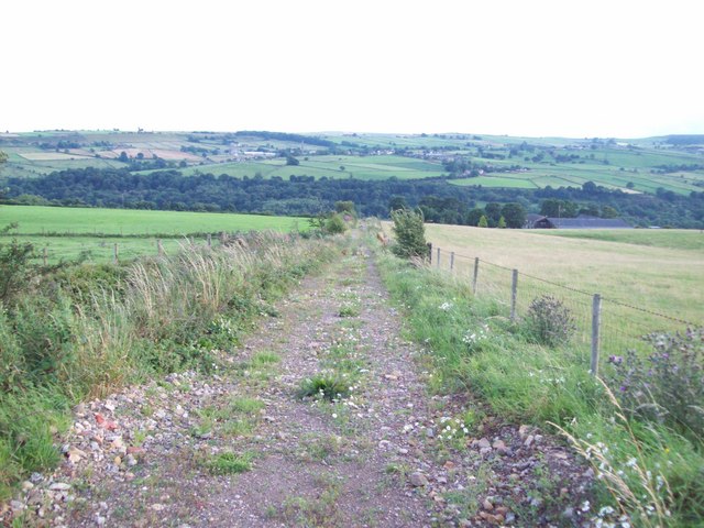
Image: © Jonathan Clitheroe Taken: 4 Aug 2010
Track and public footpath seen here heading towards the B6077 road with the wooded Loxley Valley in the middle distance. Loxley House is visible on the right of picture.
Images are licensed for reuse under creativecommons.org/licenses/by-sa/2.0
Image Location
Latitude
53.41372
Longitude
-1.555242