Bridge Hall Lane
Introduction
The photograph on this page of Bridge Hall Lane by Bill Boaden as part of the Geograph project.
The Geograph project started in 2005 with the aim of publishing, organising and preserving representative images for every square kilometre of Great Britain, Ireland and the Isle of Man.

There are currently over 7.5m images from over 14,400 individuals and you can help contribute to the project by visiting https://www.geograph.org.uk
Bridge Hall Lane
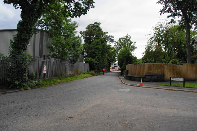
Image: © Bill Boaden Taken: 4 Aug 2010
This road was a problem for a while because it was unadopted and nobody was taking responsibility. Now that new housing has been built, it must now be adopted. Here is its junction with Bridgehall Drive which is a newer road.
Images are licensed for reuse under creativecommons.org/licenses/by-sa/2.0
Image Location
Latitude
53.593302
Longitude
-2.264811