Blakehope Fell
Introduction
The photograph on this page of Blakehope Fell by Christine Johnstone as part of the Geograph project.
The Geograph project started in 2005 with the aim of publishing, organising and preserving representative images for every square kilometre of Great Britain, Ireland and the Isle of Man.

There are currently over 7.5m images from over 14,400 individuals and you can help contribute to the project by visiting https://www.geograph.org.uk
Blakehope Fell
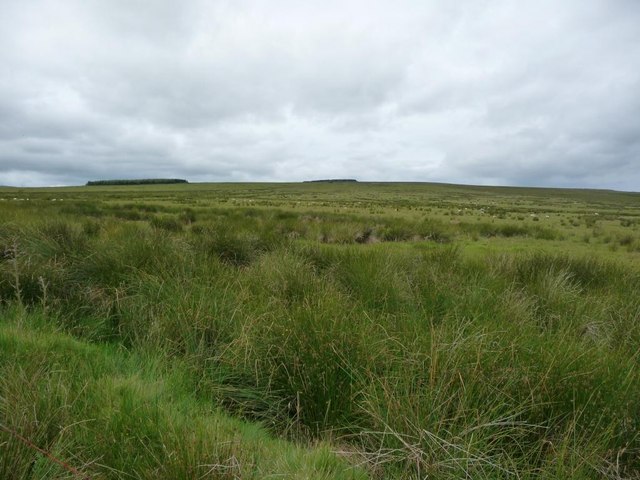
Image: © Christine Johnstone Taken: 27 Jul 2010
Now sheep pastures, this was once a mining area.
Images are licensed for reuse under creativecommons.org/licenses/by-sa/2.0
Image Location


Leaflet Map data © OpenStreetMap
Latitude
55.244836
Longitude
-2.228973