Lower part of St. John's Street
Introduction
The photograph on this page of Lower part of St. John's Street by John Goldsmith as part of the Geograph project.
The Geograph project started in 2005 with the aim of publishing, organising and preserving representative images for every square kilometre of Great Britain, Ireland and the Isle of Man.

There are currently over 7.5m images from over 14,400 individuals and you can help contribute to the project by visiting https://www.geograph.org.uk
Lower part of St. John's Street
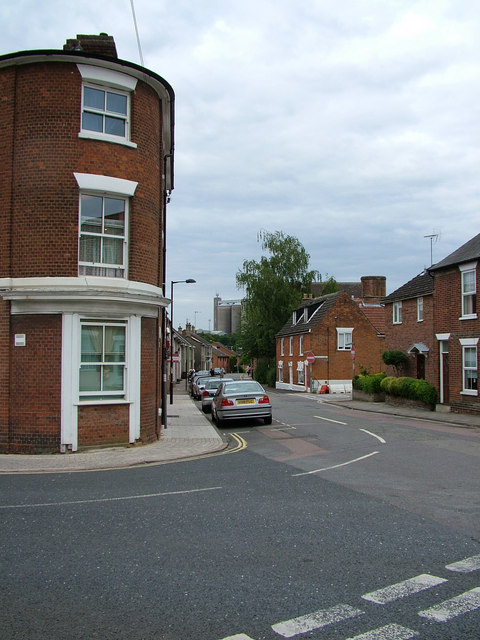
Image: © John Goldsmith Taken: 1 Aug 2010
St. John's, named after its tall church, comes from the right in this scene, and heads down to a dead end. Ipswich Street to the left leads to Station Hill. The building on the left corner has a wedge shape with a rounded corner. It is visible in pictures taken from the church spire in the 1890s.
Images are licensed for reuse under creativecommons.org/licenses/by-sa/2.0
Image Location
Latitude
52.250698
Longitude
0.713559