Hilltop fields northeast of Bulkamore
Introduction
The photograph on this page of Hilltop fields northeast of Bulkamore by Robin Stott as part of the Geograph project.
The Geograph project started in 2005 with the aim of publishing, organising and preserving representative images for every square kilometre of Great Britain, Ireland and the Isle of Man.

There are currently over 7.5m images from over 14,400 individuals and you can help contribute to the project by visiting https://www.geograph.org.uk
Hilltop fields northeast of Bulkamore
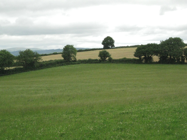
Image: © Robin Stott Taken: 31 Jul 2010
The highest of the hills in the country round Rattery, rising to 200 metres above mean sea level.
Images are licensed for reuse under creativecommons.org/licenses/by-sa/2.0
Image Location
Latitude
50.452539
Longitude
-3.764933