Farmland viewed from Rachels Lock canal bridge
Introduction
The photograph on this page of Farmland viewed from Rachels Lock canal bridge by Jaggery as part of the Geograph project.
The Geograph project started in 2005 with the aim of publishing, organising and preserving representative images for every square kilometre of Great Britain, Ireland and the Isle of Man.

There are currently over 7.5m images from over 14,400 individuals and you can help contribute to the project by visiting https://www.geograph.org.uk
Farmland viewed from Rachels Lock canal bridge
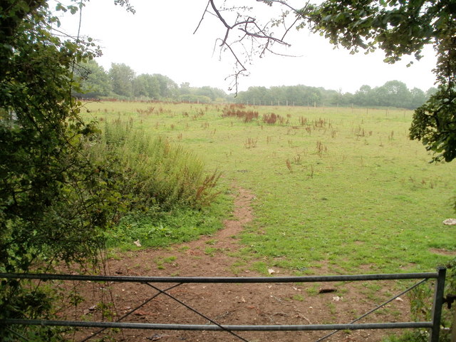
Image: © Jaggery Taken: 30 Jul 2010
The bridge http://www.geograph.org.uk/photo/1993557 is alongside a part of the former Monmouthshire and Brecon canal, at the site of the now dismantled Rachels Lock.
Images are licensed for reuse under creativecommons.org/licenses/by-sa/2.0
Image Location
Latitude
51.634022
Longitude
-3.025813