High Street, Argoed
Introduction
The photograph on this page of High Street, Argoed by Robin Drayton as part of the Geograph project.
The Geograph project started in 2005 with the aim of publishing, organising and preserving representative images for every square kilometre of Great Britain, Ireland and the Isle of Man.

There are currently over 7.5m images from over 14,400 individuals and you can help contribute to the project by visiting https://www.geograph.org.uk
High Street, Argoed
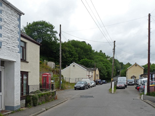
Image: © Robin Drayton Taken: 30 Jul 2010
This was once the main road through the Sirhowy Valley. Most of the village is now bypassed by the A4048 which runs along the hillside on the left of this view.
Images are licensed for reuse under creativecommons.org/licenses/by-sa/2.0
Image Location
Latitude
51.693417
Longitude
-3.191803