Tiverton: Water Lane
Introduction
The photograph on this page of Tiverton: Water Lane by Martin Bodman as part of the Geograph project.
The Geograph project started in 2005 with the aim of publishing, organising and preserving representative images for every square kilometre of Great Britain, Ireland and the Isle of Man.

There are currently over 7.5m images from over 14,400 individuals and you can help contribute to the project by visiting https://www.geograph.org.uk
Tiverton: Water Lane
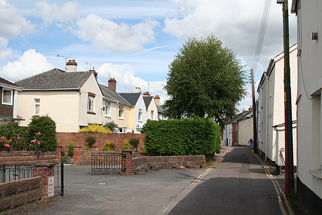
Image: © Martin Bodman Taken: 2 Aug 2010
The Town Leat still runs in culvert under the road, beneath the double-yellow lines on the left
Images are licensed for reuse under creativecommons.org/licenses/by-sa/2.0
Image Location
Latitude
50.906122
Longitude
-3.484484