Sunken lane north out of Rattery
Introduction
The photograph on this page of Sunken lane north out of Rattery by Robin Stott as part of the Geograph project.
The Geograph project started in 2005 with the aim of publishing, organising and preserving representative images for every square kilometre of Great Britain, Ireland and the Isle of Man.

There are currently over 7.5m images from over 14,400 individuals and you can help contribute to the project by visiting https://www.geograph.org.uk
Sunken lane north out of Rattery
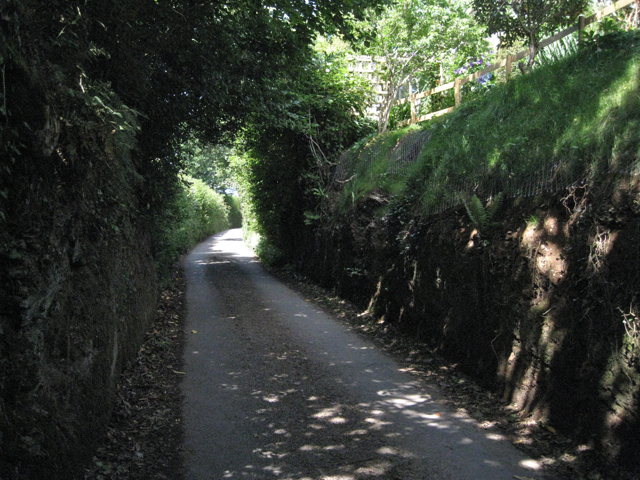
Image: © Robin Stott Taken: 28 Jul 2010
The lane leads to Pennywell and Lower Dean. At upper right is the garden of a new house on the edge of the village.
Images are licensed for reuse under creativecommons.org/licenses/by-sa/2.0
Image Location
Latitude
50.443416
Longitude
-3.773466