A junction in Roman Woods
Introduction
The photograph on this page of A junction in Roman Woods by Robin Webster as part of the Geograph project.
The Geograph project started in 2005 with the aim of publishing, organising and preserving representative images for every square kilometre of Great Britain, Ireland and the Isle of Man.

There are currently over 7.5m images from over 14,400 individuals and you can help contribute to the project by visiting https://www.geograph.org.uk
A junction in Roman Woods
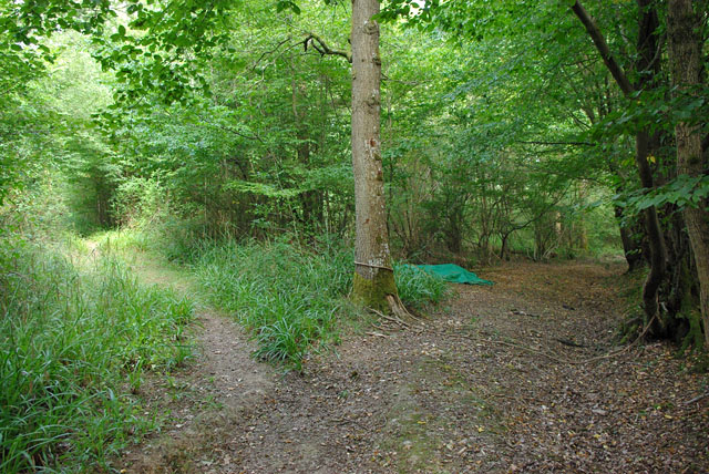
Image: © Robin Webster Taken: 2 Aug 2010
Footpath 1402 turns left away from the more ancient track, which was blocked with a rope, now slack. The way right leads to the field north of Lodge Farm. Under the sheeting are some timber sections which may have been brought here to erect a more permanent barrier.
Images are licensed for reuse under creativecommons.org/licenses/by-sa/2.0
Image Location
Latitude
51.092519
Longitude
-0.410491