Bury St Austen's
Introduction
The photograph on this page of Bury St Austen's by Robin Webster as part of the Geograph project.
The Geograph project started in 2005 with the aim of publishing, organising and preserving representative images for every square kilometre of Great Britain, Ireland and the Isle of Man.

There are currently over 7.5m images from over 14,400 individuals and you can help contribute to the project by visiting https://www.geograph.org.uk
Bury St Austen's
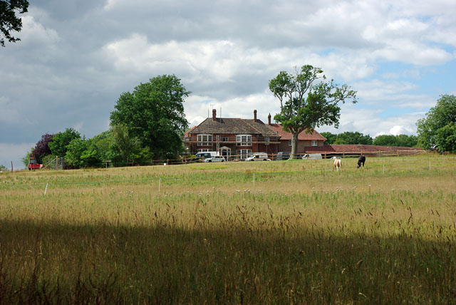
Image: © Robin Webster Taken: 2 Aug 2010
A fair amount of building and estate work is going on here.
Images are licensed for reuse under creativecommons.org/licenses/by-sa/2.0
Image Location
Latitude
51.101265
Longitude
-0.418761