
Coxon Street, Ghost Street, More Like
Introduction
The photograph on this page of Coxon Street, Ghost Street, More Like by MSX as part of the Geograph project.
The Geograph project started in 2005 with the aim of publishing, organising and preserving representative images for every square kilometre of Great Britain, Ireland and the Isle of Man.

There are currently over 7.5m images from over 14,400 individuals and you can help contribute to the project by visiting https://www.geograph.org.uk
Coxon Street, Ghost Street, More Like
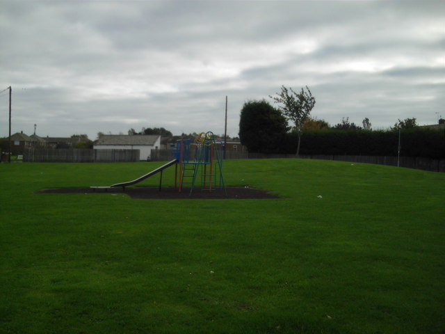
Image: © MSX Taken: 15 Oct 2005
Between Brack Terrace and South Parade lies this small playground and field and has done since 1978. Coxon Street was demolished in 1975 or 1976 but it still appears on all AtoZ maps which leads me to think it might be one of their "Ghost Streets" designed to catch other map-makers copying details directly from AtoZ maps. Does anyone know?
Images are licensed for reuse under creativecommons.org/licenses/by-sa/2.0
Image Location

Latitude
54.956274
Longitude
-1.54088