Upminster windmill
Introduction
The photograph on this page of Upminster windmill by Phillip Perry as part of the Geograph project.
The Geograph project started in 2005 with the aim of publishing, organising and preserving representative images for every square kilometre of Great Britain, Ireland and the Isle of Man.

There are currently over 7.5m images from over 14,400 individuals and you can help contribute to the project by visiting https://www.geograph.org.uk
Upminster windmill
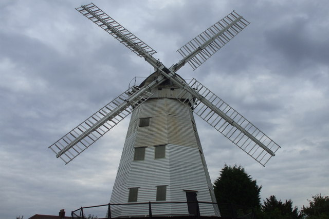
Image: © Phillip Perry Taken: 1 Aug 2010
A close-up of a local landmark, sorry for posting yet another picture (but my first) of it. The windmill does work, but only for open days and special occasions.
Images are licensed for reuse under creativecommons.org/licenses/by-sa/2.0
Image Location
Latitude
51.557967
Longitude
0.244624