East Lancs Road (A580) at St. Helens
Introduction
The photograph on this page of East Lancs Road (A580) at St. Helens by Gary Rogers as part of the Geograph project.
The Geograph project started in 2005 with the aim of publishing, organising and preserving representative images for every square kilometre of Great Britain, Ireland and the Isle of Man.

There are currently over 7.5m images from over 14,400 individuals and you can help contribute to the project by visiting https://www.geograph.org.uk
East Lancs Road (A580) at St. Helens
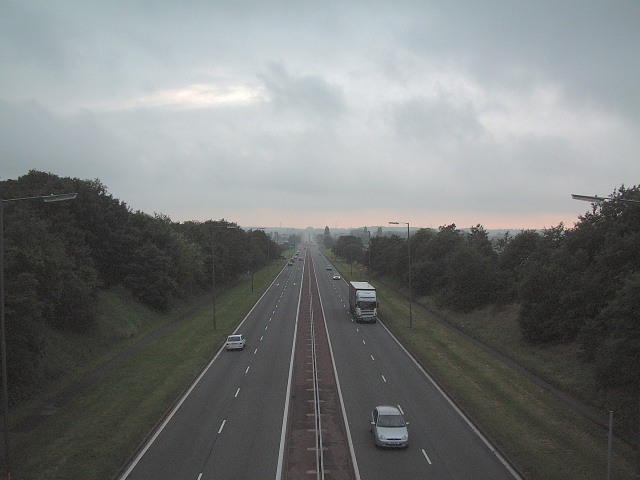
Image: © Gary Rogers Taken: 19 Jun 2005
Looking west towards Windle Island from the bridge at 498973 known locally as the rainbow bridge due to its appearance when you drive under it.
Images are licensed for reuse under creativecommons.org/licenses/by-sa/2.0
Image Location
Latitude
53.471798
Longitude
-2.762263