The end of Walter's Haven
Introduction
The photograph on this page of The end of Walter's Haven by don cload as part of the Geograph project.
The Geograph project started in 2005 with the aim of publishing, organising and preserving representative images for every square kilometre of Great Britain, Ireland and the Isle of Man.

There are currently over 7.5m images from over 14,400 individuals and you can help contribute to the project by visiting https://www.geograph.org.uk
The end of Walter's Haven
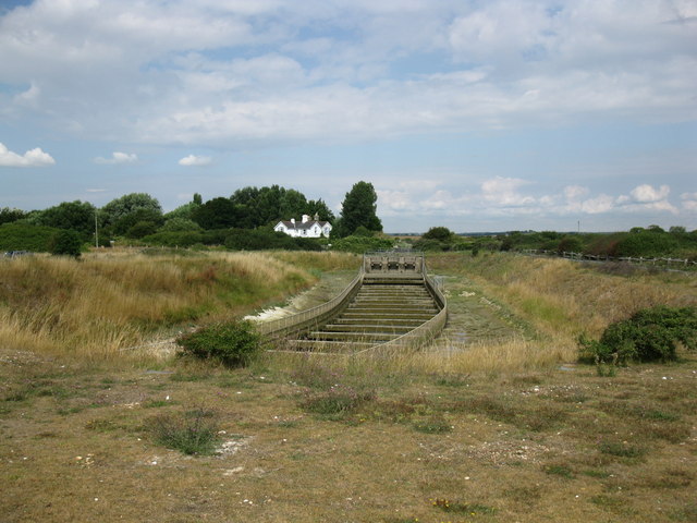
Image: © don cload Taken: 2 Aug 2010
Walter's Haven drains most of Hooe Level. This is the sluice before the river reaches the sea.
Images are licensed for reuse under creativecommons.org/licenses/by-sa/2.0
Image Location
Latitude
50.826584
Longitude
0.395805