Cannock United Reformed Church
Introduction
The photograph on this page of Cannock United Reformed Church by Geoff Pick as part of the Geograph project.
The Geograph project started in 2005 with the aim of publishing, organising and preserving representative images for every square kilometre of Great Britain, Ireland and the Isle of Man.

There are currently over 7.5m images from over 14,400 individuals and you can help contribute to the project by visiting https://www.geograph.org.uk
Cannock United Reformed Church
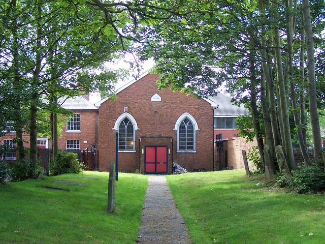
Image: © Geoff Pick Taken: 31 Jul 2010
The church, which dates form 1865, was finally closed in November 2009. The congregation had moved away from the church’s town centre site. Lack of car parking and modern facilities also contributed.
Images are licensed for reuse under creativecommons.org/licenses/by-sa/2.0
Image Location
Latitude
52.690652
Longitude
-2.032654