Reedland Crescent (2)
Introduction
The photograph on this page of Reedland Crescent (2) by David Anstiss as part of the Geograph project.
The Geograph project started in 2005 with the aim of publishing, organising and preserving representative images for every square kilometre of Great Britain, Ireland and the Isle of Man.

There are currently over 7.5m images from over 14,400 individuals and you can help contribute to the project by visiting https://www.geograph.org.uk
Reedland Crescent (2)
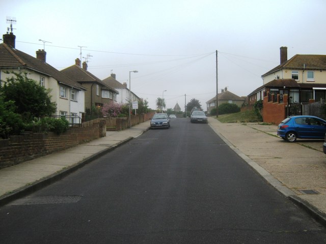
Image: © David Anstiss Taken: 31 Jul 2010
Road in Upper Brents Estate. Heading from Broomfield Road to Barnfield Road. St Mary Magdalene Church is seen in the background
Images are licensed for reuse under creativecommons.org/licenses/by-sa/2.0
Image Location


Leaflet Map data © OpenStreetMap
Latitude
51.321109
Longitude
0.887832