Brecon Road reaches Hay-on-Wye
Introduction
The photograph on this page of Brecon Road reaches Hay-on-Wye by Jaggery as part of the Geograph project.
The Geograph project started in 2005 with the aim of publishing, organising and preserving representative images for every square kilometre of Great Britain, Ireland and the Isle of Man.

There are currently over 7.5m images from over 14,400 individuals and you can help contribute to the project by visiting https://www.geograph.org.uk
Brecon Road reaches Hay-on-Wye
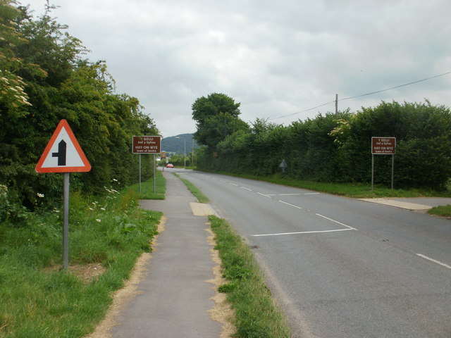
Image: © Jaggery Taken: 30 Jun 2010
This is the western edge of Hay-on-Wye, town of books. Hay is from a Norman-French word for hedge or hedged enclosure. The literal translation of the Welsh form, Y Gelli, is grove. The official Hay-on-Wye website states that it is twinned with La Redu, Belgium and Timbuktu, Mali. This latter twinning is perhaps curious for a small town keen to attract visitors, for it is used in English to refer to any extremely remote place. Unlike many other locations, Hay-on-Wye does not show twinning details on its boundary signs.
Images are licensed for reuse under creativecommons.org/licenses/by-sa/2.0
Image Location
Latitude
52.068156
Longitude
-3.139316