Houses, Rockhampton
Introduction
The photograph on this page of Houses, Rockhampton by Robin Stott as part of the Geograph project.
The Geograph project started in 2005 with the aim of publishing, organising and preserving representative images for every square kilometre of Great Britain, Ireland and the Isle of Man.

There are currently over 7.5m images from over 14,400 individuals and you can help contribute to the project by visiting https://www.geograph.org.uk
Houses, Rockhampton
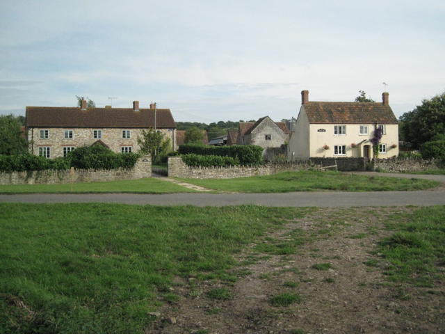
Image: © Robin Stott Taken: 27 Jul 2010
According to one of those painted-up cast metal nameplates - a sure sign of gentrification - the house on the right is called Green Farm.
Images are licensed for reuse under creativecommons.org/licenses/by-sa/2.0
Image Location
Latitude
51.640496
Longitude
-2.50009