View towards Handale
Introduction
The photograph on this page of View towards Handale by Philip Barker as part of the Geograph project.
The Geograph project started in 2005 with the aim of publishing, organising and preserving representative images for every square kilometre of Great Britain, Ireland and the Isle of Man.

There are currently over 7.5m images from over 14,400 individuals and you can help contribute to the project by visiting https://www.geograph.org.uk
View towards Handale
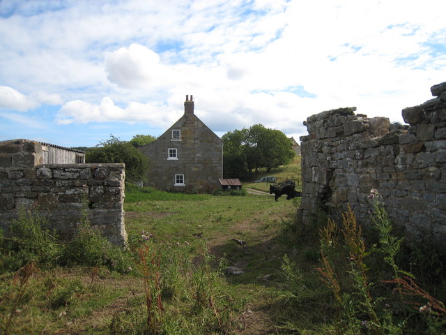
Image: © Philip Barker Taken: 1 Aug 2010
This photograph shows a view of Handale as seen from the public footpath that runs between Handale Wood and Grinkle Lane. The picture was taken looking in an east-south-easterly direction towards Fishpond Wood near the Grinkle Park Hotel.
Images are licensed for reuse under creativecommons.org/licenses/by-sa/2.0
Image Location


Leaflet Map data © OpenStreetMap
Latitude
54.530404
Longitude
-0.880581