Castleton Rise
Introduction
The photograph on this page of Castleton Rise by Jaggery as part of the Geograph project.
The Geograph project started in 2005 with the aim of publishing, organising and preserving representative images for every square kilometre of Great Britain, Ireland and the Isle of Man.

There are currently over 7.5m images from over 14,400 individuals and you can help contribute to the project by visiting https://www.geograph.org.uk
Castleton Rise
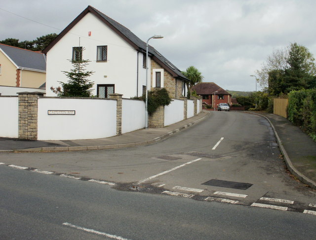
Image: © Jaggery Taken: 24 Oct 2009
Castleton Rise is a short cul-de-sac on the eastern side of Marshfield Road, about 100 metres from the A48.
Images are licensed for reuse under creativecommons.org/licenses/by-sa/2.0
Image Location
Latitude
51.543632
Longitude
-3.078577