North end of Sessay
Introduction
The photograph on this page of North end of Sessay by DS Pugh as part of the Geograph project.
The Geograph project started in 2005 with the aim of publishing, organising and preserving representative images for every square kilometre of Great Britain, Ireland and the Isle of Man.

There are currently over 7.5m images from over 14,400 individuals and you can help contribute to the project by visiting https://www.geograph.org.uk
North end of Sessay
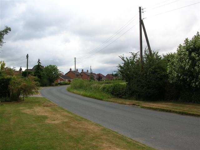
Image: © DS Pugh Taken: 9 Jul 2006
Looking North out of Sessay as the village curves round towards Little Hutton.
Images are licensed for reuse under creativecommons.org/licenses/by-sa/2.0
Image Location


Leaflet Map data © OpenStreetMap
Latitude
54.175079
Longitude
-1.304453