The cultivation terraces of Arlescott village
Introduction
The photograph on this page of The cultivation terraces of Arlescott village by Richard Law as part of the Geograph project.
The Geograph project started in 2005 with the aim of publishing, organising and preserving representative images for every square kilometre of Great Britain, Ireland and the Isle of Man.

There are currently over 7.5m images from over 14,400 individuals and you can help contribute to the project by visiting https://www.geograph.org.uk
The cultivation terraces of Arlescott village
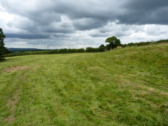
Image: © Richard Law Taken: 1 Aug 2010
The 1:25,000 map marks a series of 3 or 4 terraces on the hillside here, which would have been associated with the medieval village just to the south of Arlescott Farm. This picture shows the best-preserved of them, with its upper bank on the right, leading to the oak tree in the hedge.
Images are licensed for reuse under creativecommons.org/licenses/by-sa/2.0
Image Location


Leaflet Map data © OpenStreetMap
Latitude
52.606555
Longitude
-2.516196