Victoria Road from the junction with Dundonald Close
Introduction
The photograph on this page of Victoria Road from the junction with Dundonald Close by Rob Candlish as part of the Geograph project.
The Geograph project started in 2005 with the aim of publishing, organising and preserving representative images for every square kilometre of Great Britain, Ireland and the Isle of Man.

There are currently over 7.5m images from over 14,400 individuals and you can help contribute to the project by visiting https://www.geograph.org.uk
Victoria Road from the junction with Dundonald Close
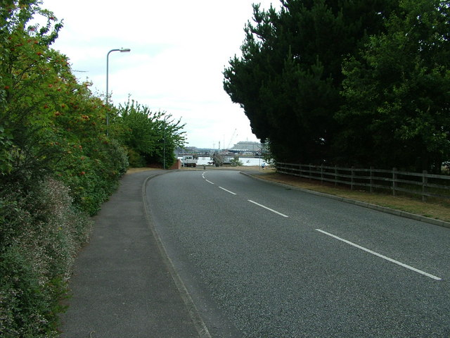
Image: © Rob Candlish Taken: 1 Aug 2010
Victoria Road from near the junction with Dundonald Close. Southampton Water is in the background with, on this occasion, Queen Mary 2 berthed in Ocean Dock beyond and being replenished ready for a 16:30 cruise departure. It had arrived at 06:30 the same morning off another cruise.
Images are licensed for reuse under creativecommons.org/licenses/by-sa/2.0
Image Location
Latitude
50.889828
Longitude
-1.381785