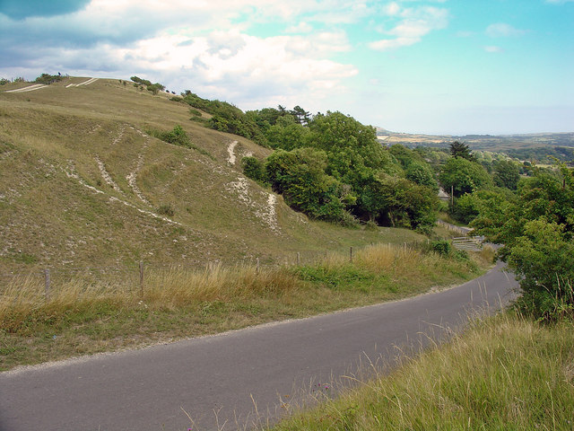
Cocknowle Quarry: Church Knowle, Dorset
Introduction
The photograph on this page of Cocknowle Quarry: Church Knowle, Dorset by Dylan Moore as part of the Geograph project.
The Geograph project started in 2005 with the aim of publishing, organising and preserving representative images for every square kilometre of Great Britain, Ireland and the Isle of Man.
There are currently over 7.5m images from over 14,400 individuals and you can help contribute to the project by visiting https://www.geograph.org.uk

Image: © Dylan Moore Taken: 28 Jul 2010
This now barely recognizable quarry was operated from 1875 until around 1912 to supply chalk to the Wareham Cement Works at Ridge (Image). The chalk dips northward at around 60° and the Lower Chalk has a narrow outcrop between the edge of the ridge and the Upper Greensand that crops out below at around the level of the house. The quarry extended half a kilometre along the ridge. Chalk was moved to the base of the ridge on the north side (Image) by means of a tramway (see Image) then by horse and cart to Ridge (7 km). The active quarry to the north of the ridge is modern. For more details, see http://www.cementkilns.co.uk/cement_kiln_wareham.html.

