Torbay Road
Introduction
The photograph on this page of Torbay Road by Derek Harper as part of the Geograph project.
The Geograph project started in 2005 with the aim of publishing, organising and preserving representative images for every square kilometre of Great Britain, Ireland and the Isle of Man.

There are currently over 7.5m images from over 14,400 individuals and you can help contribute to the project by visiting https://www.geograph.org.uk
Torbay Road
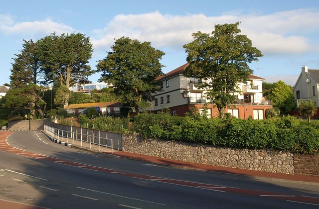
Image: © Derek Harper Taken: 28 Jul 2010
See Image; the A3022 swings across the bridge shown in Image The house is in fact a block of flats.
Images are licensed for reuse under creativecommons.org/licenses/by-sa/2.0
Image Location
Latitude
50.4531
Longitude
-3.548719