Shepperdine Lane
Introduction
The photograph on this page of Shepperdine Lane by Robin Stott as part of the Geograph project.
The Geograph project started in 2005 with the aim of publishing, organising and preserving representative images for every square kilometre of Great Britain, Ireland and the Isle of Man.

There are currently over 7.5m images from over 14,400 individuals and you can help contribute to the project by visiting https://www.geograph.org.uk
Shepperdine Lane
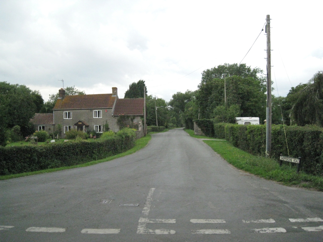
Image: © Robin Stott Taken: 27 Jul 2010
It heads northwest from the junction with the Naite and Hill Lane. A signpost behind the camera points to 'Shepperdine and the river' (an understatement) and 'Windbound Centre'. The latter is a residential care home for people with learning difficulties Image
Images are licensed for reuse under creativecommons.org/licenses/by-sa/2.0
Image Location


Leaflet Map data © OpenStreetMap
Latitude
51.642621
Longitude
-2.547658