Oldbury Naite crossroads
Introduction
The photograph on this page of Oldbury Naite crossroads by Robin Stott as part of the Geograph project.
The Geograph project started in 2005 with the aim of publishing, organising and preserving representative images for every square kilometre of Great Britain, Ireland and the Isle of Man.

There are currently over 7.5m images from over 14,400 individuals and you can help contribute to the project by visiting https://www.geograph.org.uk
Oldbury Naite crossroads
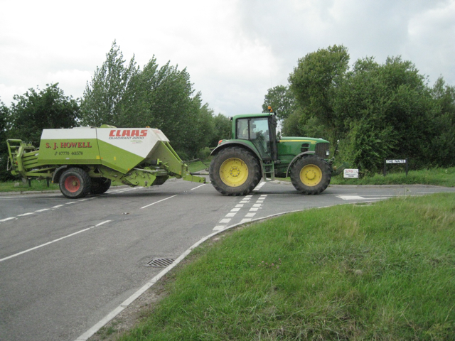
Image: © Robin Stott Taken: 27 Jul 2010
The tractor is proceeding north-ish up a road called The Naite at its junction with Foss Lane. On the out-of-shot corner two police officers in a car were stationed, presumably to deter speeding on the straight, flat stretches of both roads.
Images are licensed for reuse under creativecommons.org/licenses/by-sa/2.0
Image Location
Latitude
51.638297
Longitude
-2.549485