Blackbrook Lane, Bickley
Introduction
The photograph on this page of Blackbrook Lane, Bickley by Stephen Richards as part of the Geograph project.
The Geograph project started in 2005 with the aim of publishing, organising and preserving representative images for every square kilometre of Great Britain, Ireland and the Isle of Man.

There are currently over 7.5m images from over 14,400 individuals and you can help contribute to the project by visiting https://www.geograph.org.uk
Blackbrook Lane, Bickley
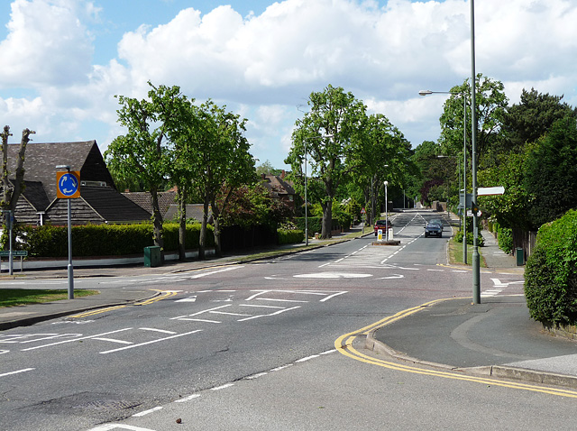
Image: © Stephen Richards Taken: Unknown
Hawthorne Road to the left, Barfield Road to the right, and Thornet Wood Road running behind the photographer.
Images are licensed for reuse under creativecommons.org/licenses/by-sa/2.0
Image Location
Latitude
51.399824
Longitude
0.056011