A99 (old A9) Ulbster
Introduction
The photograph on this page of A99 (old A9) Ulbster by Richard Webb as part of the Geograph project.
The Geograph project started in 2005 with the aim of publishing, organising and preserving representative images for every square kilometre of Great Britain, Ireland and the Isle of Man.

There are currently over 7.5m images from over 14,400 individuals and you can help contribute to the project by visiting https://www.geograph.org.uk
A99 (old A9) Ulbster
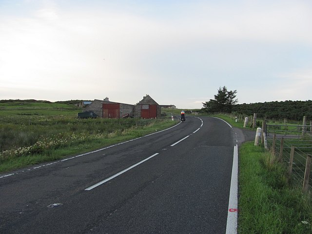
Image: © Richard Webb Taken: 18 Jul 2010
Road south from Wick, renumbered A99 after the A9 was switched from John o' Groats to Scrabster. Popular with cyclists as it is the easiest way out of, or to John o' Groats and also part of the popular loop around the north coast of Scotland.
Images are licensed for reuse under creativecommons.org/licenses/by-sa/2.0
Image Location
Latitude
58.34725
Longitude
-3.163723