Track to the railway
Introduction
The photograph on this page of Track to the railway by Michael Dibb as part of the Geograph project.
The Geograph project started in 2005 with the aim of publishing, organising and preserving representative images for every square kilometre of Great Britain, Ireland and the Isle of Man.

There are currently over 7.5m images from over 14,400 individuals and you can help contribute to the project by visiting https://www.geograph.org.uk
Track to the railway
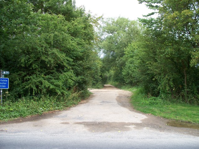
Image: © Michael Dibb Taken: 24 Jul 2010
Starting from the B4450, the track is a restricted byway as far as the dismantled railway at which point it becomes a bridleway to Lower Oddington.
Images are licensed for reuse under creativecommons.org/licenses/by-sa/2.0
Image Location
Latitude
51.905016
Longitude
-1.648779