Drainage ditch on Frodsham Marsh
Introduction
The photograph on this page of Drainage ditch on Frodsham Marsh by Mike Harris as part of the Geograph project.
The Geograph project started in 2005 with the aim of publishing, organising and preserving representative images for every square kilometre of Great Britain, Ireland and the Isle of Man.

There are currently over 7.5m images from over 14,400 individuals and you can help contribute to the project by visiting https://www.geograph.org.uk
Drainage ditch on Frodsham Marsh
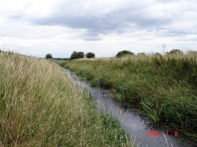
Image: © Mike Harris Taken: 8 Jul 2006
Drainage ditch beside Lordship Lane on Frodsham Marsh. SJ 5007 7775 at 75°. The Helsby and Frodsham marshes have been drained by a network of ditches like this that relieve the monotony of what is now flat farmland. This is the nearest we get to "big sky country" round here!
Images are licensed for reuse under creativecommons.org/licenses/by-sa/2.0
Image Location
Latitude
53.294343
Longitude
-2.750547