Robin Hood?s Bay, former railway station (1)
Introduction
The photograph on this page of Robin Hood?s Bay, former railway station (1) by Mike Kirby as part of the Geograph project.
The Geograph project started in 2005 with the aim of publishing, organising and preserving representative images for every square kilometre of Great Britain, Ireland and the Isle of Man.

There are currently over 7.5m images from over 14,400 individuals and you can help contribute to the project by visiting https://www.geograph.org.uk
Robin Hood?s Bay, former railway station (1)
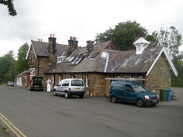
Image: © Mike Kirby Taken: 7 Jul 2010
The Robin Hood’s Bay railway station opened in 1885, on the stretch of line from Scarborough to Whitby. It was one of the most dramatic routes in England with superb coastal scenery all the way; unfortunately this was not a consideration when Beeching wielded his infamous axe in 1965 and closed the line.
Images are licensed for reuse under creativecommons.org/licenses/by-sa/2.0
Image Location


Leaflet Map data © OpenStreetMap
Latitude
54.435146
Longitude
-0.538856