Jays House and attached outbuildings, Station Road
Introduction
The photograph on this page of Jays House and attached outbuildings, Station Road by Mike Kirby as part of the Geograph project.
The Geograph project started in 2005 with the aim of publishing, organising and preserving representative images for every square kilometre of Great Britain, Ireland and the Isle of Man.

There are currently over 7.5m images from over 14,400 individuals and you can help contribute to the project by visiting https://www.geograph.org.uk
Jays House and attached outbuildings, Station Road
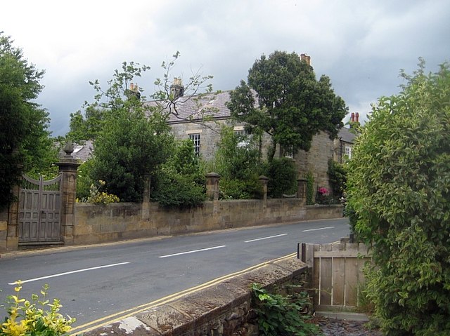
Image: © Mike Kirby Taken: 7 Jul 2010
A grade II listed 2 storey house, attached to stable and coach-house range of C18 origin. (Originally Manor House, circa 1320). LBS Number: 327841
Images are licensed for reuse under creativecommons.org/licenses/by-sa/2.0
Image Location
Latitude
54.434903
Longitude
-0.535905