The Dale Club
Introduction
The photograph on this page of The Dale Club by David Lally as part of the Geograph project.
The Geograph project started in 2005 with the aim of publishing, organising and preserving representative images for every square kilometre of Great Britain, Ireland and the Isle of Man.

There are currently over 7.5m images from over 14,400 individuals and you can help contribute to the project by visiting https://www.geograph.org.uk
The Dale Club
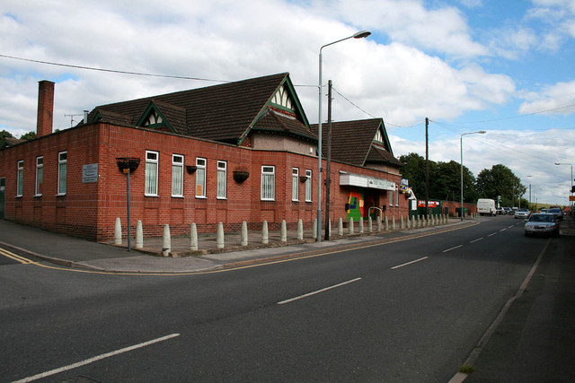
Image: © David Lally Taken: 31 Jul 2010
Miners Welfare Club in Jacksdale. I have not been able to find out exactly when the local collieries closed, but Pye Hill was still working in 1986.
Images are licensed for reuse under creativecommons.org/licenses/by-sa/2.0
Image Location
Latitude
53.057247
Longitude
-1.335099