New River Loop, Enfield
Introduction
The photograph on this page of New River Loop, Enfield by Martin Addison as part of the Geograph project.
The Geograph project started in 2005 with the aim of publishing, organising and preserving representative images for every square kilometre of Great Britain, Ireland and the Isle of Man.

There are currently over 7.5m images from over 14,400 individuals and you can help contribute to the project by visiting https://www.geograph.org.uk
New River Loop, Enfield
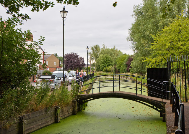
Image: © Martin Addison Taken: 26 Jul 2010
A section of the New River beside Parsonage Drive. Construction began in the 17th century to provide a source of water for the eastern sections of London. The New River begins between Ware and Hertford and carefully follows the contours of the land to maintain a steady fall on its way to its current terminus in Stoke Newington. Some sections of the New River have become redundant and the Loop in Enfield is one of these. However, Enfield council maintain it as a civic amenity.
Images are licensed for reuse under creativecommons.org/licenses/by-sa/2.0
Image Location
Latitude
51.656162
Longitude
-0.086569