Remains of old road to Nursling Mill
Introduction
The photograph on this page of Remains of old road to Nursling Mill by Peter Facey as part of the Geograph project.
The Geograph project started in 2005 with the aim of publishing, organising and preserving representative images for every square kilometre of Great Britain, Ireland and the Isle of Man.

There are currently over 7.5m images from over 14,400 individuals and you can help contribute to the project by visiting https://www.geograph.org.uk
Remains of old road to Nursling Mill
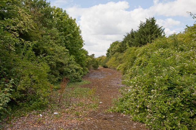
Image: © Peter Facey Taken: 25 Jul 2010
This road, shown on the historical map is now marooned between units in Nursling Industrial Park. The traffic now follows the newer Andes Road.
Images are licensed for reuse under creativecommons.org/licenses/by-sa/2.0
Image Location
Latitude
50.935889
Longitude
-1.477806