Footpath 1633 junction with Old Wickhurst Lane
Introduction
The photograph on this page of Footpath 1633 junction with Old Wickhurst Lane by Robin Webster as part of the Geograph project.
The Geograph project started in 2005 with the aim of publishing, organising and preserving representative images for every square kilometre of Great Britain, Ireland and the Isle of Man.

There are currently over 7.5m images from over 14,400 individuals and you can help contribute to the project by visiting https://www.geograph.org.uk
Footpath 1633 junction with Old Wickhurst Lane
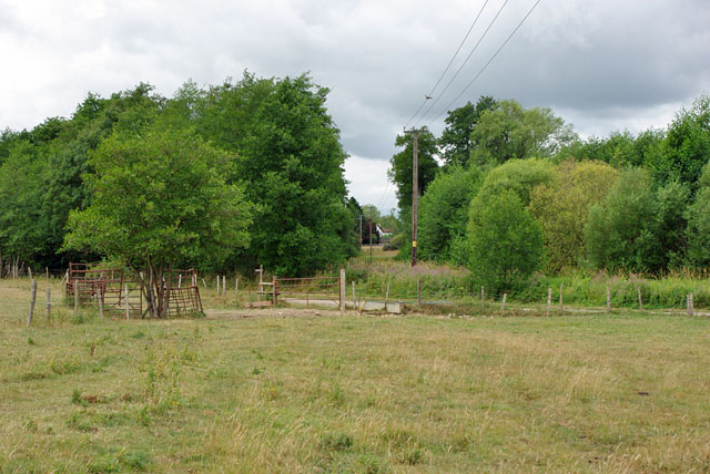
Image: © Robin Webster Taken: 31 Jul 2010
Publicly the lane has footpath status only. After meeting the lane, footpath 1633 turns left along it. The lane towards the right is footpath 1632.
Images are licensed for reuse under creativecommons.org/licenses/by-sa/2.0
Image Location
Latitude
51.062363
Longitude
-0.362716